Know the water before you go
The old way… but on a phone. A real chart to study, the day weighed into one score, and a log that writes itself.
Open the chart Coming to the App Store
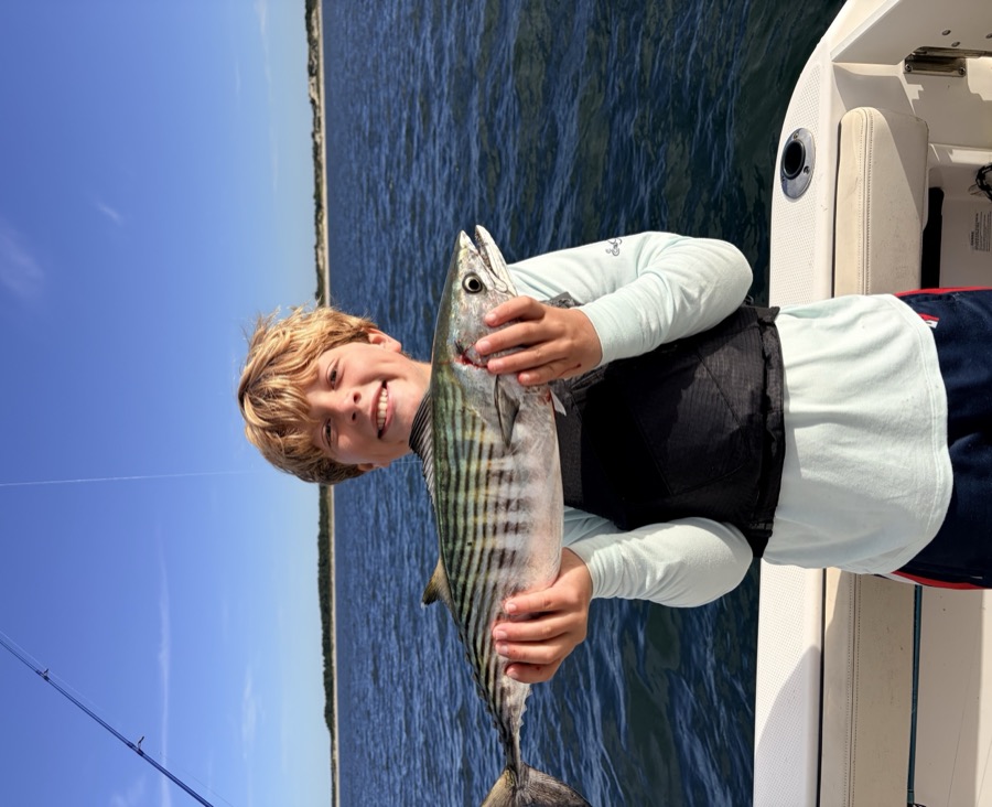
Every fish gets a card.
Log a catch and SeaWolf prints it as a trading card: the fish on the front, where it happened on the back. Screenshot it. Send it. Collect the season.
- Track
- Length, weight, air, wind, tide and water, written in at the minute of the catch.
Built the way a trip is.
Go deeper at every turn.
Pro doesn't add noise. It sharpens the three things that matter: what you can see before you go, how much the advisor can do while you're out, and how well it knows you when you come home.
- I
Prepare deeper
Sea temperature on the chart at 1 km, from the latest daily satellite analysis, with a line drawn at every half degree. You see the break before you burn the fuel.
- II
Fish harder
The advisor without limits: ask all day, build trip plans, analyze any stretch of water. Pro answers come from the bigger model.
- III
Reflect fuller
Advice and insights based on your log and fishing principles. Memory that carries from one trip to the next.
Always free: the chart with wind and tides, the conditions score for any spot, the log and the cards without limit, and the advisor with a daily allowance. Pro is for the angler the allowance can't keep up with.
Not for navigation. For planning, exploring and logging. On the water, use official charts and a dedicated chartplotter or GPS.